2016
SK2164 : Buttercups below Youlgrave
taken 8 years ago, near to Youlgreave, Derbyshire, England
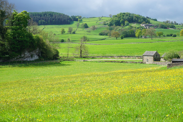
Buttercups below Youlgrave
The River Bradford flows at the bottom of this slope. There are heavy clouds behind Mawstone Hill.
 Map © Crown Copyright")
TIP: Click the map for more Large scale mapping
- Grid Square
- SK2164, 336 images (more nearby 🔍)
- Photographer
- Bill Boaden (more nearby)
- Date Taken
- Saturday, 21 May, 2016 (more nearby)
- Submitted
- Sunday, 29 May, 2016
- Subject Location
-
OSGB36:
 SK 2144 6403 [10m precision]
WGS84: 53:10.3772N 1:40.8425W - Camera Location
-
OSGB36: SK 2145 6407
- View Direction
- South-southwest (about 202 degrees)