2016

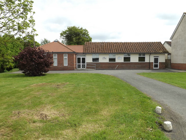
TM0652 : Barking Chapel, Barking Tye

taken 8 years ago, near to Barking Tye, Suffolk, England

Barking Chapel, Barking Tye
Off the B1078 Barking Road
LinkExternal link

Creative Commons Licence [Some Rights Reserved]   © Copyright Geographer and licensed for reuse under this Creative Commons Licence.
Geographical Context: Village, Rural settlement Religious sites At: Barking Tye Off: The B1078 Barking Road Primary Subject: Chapel other tags: Barking Chapel Chapel Barking Road B1078 B1078 Barking Road Click a tag, to view other nearby images.
This photo is linked from: Automatic Clusters: · B1078 Barking Road [36] ·
1:50,000 Modern Day Landranger(TM) Map © Crown Copyright
+
+
1:50,000 Modern Day Landranger(TM) Map © Crown Copyright
TIP: Click the map for more Large scale mapping
Grid Square
TM0652, 71 images   (more nearby 🔍)
Photographer
Geographer   (more nearby)
Date Taken
Friday, 20 May, 2016   (more nearby)
Submitted
Tuesday, 31 May, 2016
Subject Location
OSGB36: geotagged! TM 06591 52116 [1m precision]
WGS84: 52:7.7232N 1:1.0089E
Camera Location
OSGB36: geotagged! TM 06555 52124
View Direction
East-southeast (about 112 degrees)
Clickable map
+
NW N NE
W Go E
SW S SE
Image Type (about): geograph 
This page has been viewed about 37 times
You are not logged in login | register