2016
SX1794 : Lane to Trengune
taken 8 years ago, near to Wainhouse Corner, Cornwall, England
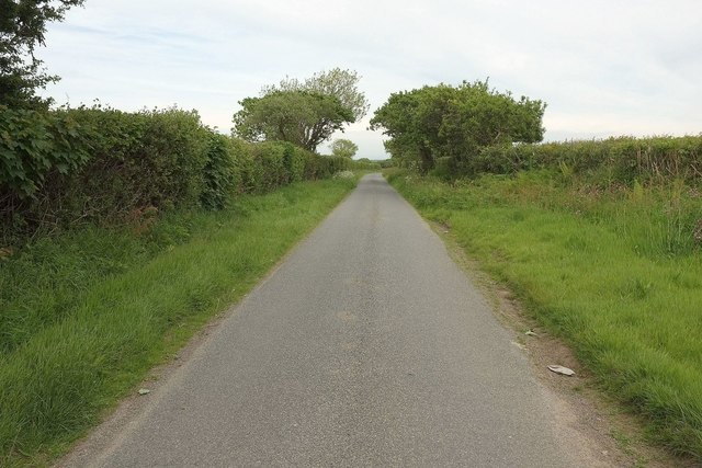
Lane to Trengune
Seen a few metres east of its junction with the A39. The parish boundary between Warbstow (left) and Otterham runs along the right-hand verge - or is it the hedge?
 Map © Crown Copyright")
TIP: Click the map for more Large scale mapping
- Grid Square
- SX1794, 4 images (more nearby 🔍)
- Photographer
- Derek Harper (more nearby)
- Date Taken
- Tuesday, 31 May, 2016 (more nearby)
- Submitted
- Wednesday, 1 June, 2016
- Subject Location
-
OSGB36:
 SX 1771 9413 [10m precision]
WGS84: 50:43.0881N 4:35.0218W - Camera Location
-
OSGB36: SX 1767 9413
- View Direction
- EAST (about 90 degrees)