2016
SZ1193 : Bournemouth, A338 Wessex Way
taken 8 years ago, near to Throop, Bournemouth, Christchurch & Poole, England
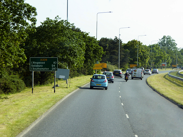
Bournemouth, A338 Wessex Way
The A338 is a major trunk road that runs from the junction with the A35 at Poole to the junction with the A420 at Besselsleigh in Oxfordshire, a distance of 84 miles (135 km). The section from the A31 to Poole is dual carriageway; the A338 and A31 together form a major route into the tourist area of Poole, Bournemouth and Christchurch.
See other images of The A338 Trunk Road
See other images of The A338 Trunk Road
 Map © Crown Copyright")
TIP: Click the map for more Large scale mapping
- Grid Square
- SZ1193, 74 images (more nearby 🔍)
- Photographer
- David Dixon (more nearby)
- Date Taken
- Friday, 27 May, 2016 (more nearby)
- Submitted
- Saturday, 4 June, 2016
- Subject Location
-
OSGB36:
 SZ 113 934 [100m precision]
WGS84: 50:44.4060N 1:50.4139W - Camera Location
-
OSGB36: SZ 113 933
- View Direction
- North-northeast (about 22 degrees)