2016
SE0806 : The Kirklees Way, Austonley
taken 8 years ago, 3 km from Holme, Kirklees, England
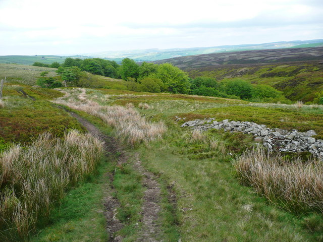
The Kirklees Way, Austonley
See SE0807 : Woodland between the Kirklees Way and Reap Hill Clough, Austonley for part of the woodland in the distance, which seems to be thriving at an altitude of 400m.
 Map © Crown Copyright")
TIP: Click the map for more Large scale mapping
- Grid Square
- SE0806, 62 images (more nearby 🔍)
- Photographer
- Humphrey Bolton (more nearby)
- Date Taken
- Monday, 30 May, 2016 (more nearby)
- Submitted
- Sunday, 5 June, 2016
- Subject Location
-
OSGB36:
 SE 0808 0697 [10m precision]
WGS84: 53:33.5574N 1:52.7696W - Camera Location
-
OSGB36: SE 0807 0697
- View Direction
- EAST (about 90 degrees)