2016
NT1439 : Bridge over the Hopehead Burn
taken 8 years ago, 4 km WNW of Stobo, Scottish Borders, Scotland
This is 1 of 2 images, with title Bridge over the Hopehead Burn in this square
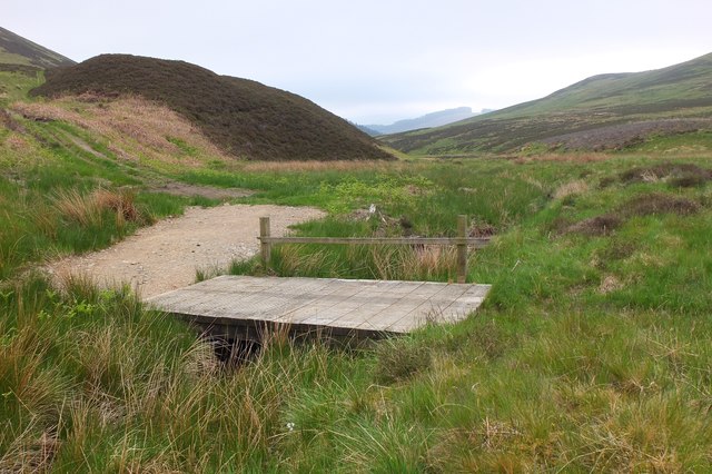
Bridge over the Hopehead Burn
A bridge on the track crossing the valley to Hammer Knowe and continuing to Stobo.
 Map © Crown Copyright")
TIP: Click the map for more Large scale mapping
- Grid Square
- NT1439, 21 images (more nearby 🔍)
- Photographer
- Jim Barton (more nearby)
- Date Taken
- Saturday, 4 June, 2016 (more nearby)
- Submitted
- Monday, 6 June, 2016
- Subject Location
-
OSGB36:
 NT 1449 3901 [10m precision]
WGS84: 55:38.2258N 3:21.5956W - Camera Location
-
OSGB36: NT 1449 3901
- View Direction
- South-southeast (about 157 degrees)