2016
SJ4953 : View down to Brown Knowl from the Sandstone Trail
taken 8 years ago, near to Fuller's Moor, Cheshire West And Chester, England
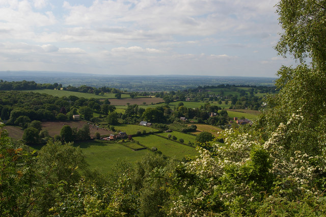
View down to Brown Knowl from the Sandstone Trail
To the right of centre, the tower of Brown Knowl Methodist Church.
 Map © Crown Copyright")
TIP: Click the map for more Large scale mapping
- Grid Square
- SJ4953, 18 images (more nearby 🔍)
- Photographer
- Christopher Hilton (more nearby)
- Date Taken
- Wednesday, 1 June, 2016 (more nearby)
- Submitted
- Wednesday, 15 June, 2016
- Subject Location
-
OSGB36:
 SJ 4955 5331 [10m precision]
WGS84: 53:4.4775N 2:45.2689W - Camera Location
-
OSGB36: SJ 4993 5305
- View Direction
- Northwest (about 315 degrees)