2016
TQ4200 : Chalk sea bed erosion, foot of the sea wall in Friars' Bay, Peacehaven
taken 8 years ago, near to Peacehaven, East Sussex, England
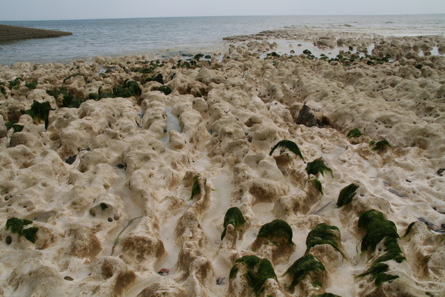
Chalk sea bed erosion, foot of the sea wall in Friars' Bay, Peacehaven
 Map © Crown Copyright")
TIP: Click the map for more Large scale mapping
- Grid Square
- TQ4200, 83 images (more nearby 🔍)
- Photographer
- Chris (more nearby)
- Date Taken
- Saturday, 11 June, 2016 (more nearby)
- Submitted
- Friday, 17 June, 2016
- Subject Location
-
OSGB36:
 TQ 4231 0029 [10m precision]
WGS84: 50:47.0836N 0:1.0450E - Camera Location
-
OSGB36: TQ 4231 0031
- View Direction
- South-southwest (about 202 degrees)