2016

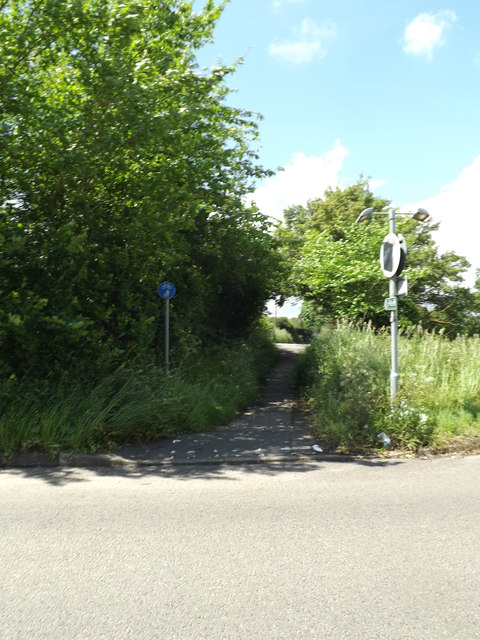
TM1147 : Footpath to the B1113 Loraine Way

taken 8 years ago, near to Bramford, Suffolk, England

Footpath to the B1113 Loraine Way
Off the B1067 The Street

Creative Commons Licence [Some Rights Reserved]   © Copyright Geographer and licensed for reuse under this Creative Commons Licence.
Geographical Context: Paths Village, Rural settlement To: The B1113 Loraine Way At: Bramford Primary Subject: Path Off: The B1067 The Street other tags: Footpath The Street B1113 Loraine Way B Road (Classified B) B1067 Click a tag, to view other nearby images.
This photo is linked from: Automatic Clusters: · B1067 the Street [5] · Footpath [3] ·
1:50,000 Modern Day Landranger(TM) Map © Crown Copyright
+
+
1:50,000 Modern Day Landranger(TM) Map © Crown Copyright
TIP: Click the map for more Large scale mapping
Grid Square
TM1147, 44 images   (more nearby 🔍)
Photographer
Geographer   (more nearby)
Date Taken
Thursday, 16 June, 2016   (more nearby)
Submitted
Monday, 20 June, 2016
Subject Location
OSGB36: geotagged! TM 11960 47116 [1m precision]
WGS84: 52:4.9081N 1:5.5214E
Camera Location
OSGB36: geotagged! TM 11968 47118
View Direction
West-southwest (about 247 degrees)
Clickable map
+
NW N NE
W Go E
SW S SE
Image Type (about): geograph 
This page has been viewed about 13 times
You are not logged in login | register