2016

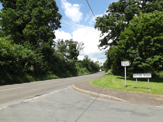
TM1246 : B1067 The Street, Bramford

taken 8 years ago, near to Bramford, Suffolk, England

B1067 The Street, Bramford
At the junction with Acton Road

Creative Commons Licence [Some Rights Reserved]   © Copyright Geographer and licensed for reuse under this Creative Commons Licence.
Geographical Context: Village, Rural settlement Roads, Road transport At: Bramford Primary Subject: Road Junction other tags: Road Name Sign Acton Road The Street Roadsign B1067 The Street B1067 B Road (Classified B) Click a tag, to view other nearby images.
This photo is linked from: Automatic Clusters: · Junction with the B1067 the Street [23] · Acton Road [7] Title Clusters: · B1067 The Street, Bramford [6] ·
1:50,000 Modern Day Landranger(TM) Map © Crown Copyright
+
1:50,000 Modern Day Landranger(TM) Map © Crown Copyright
TIP: Click the map for more Large scale mapping
Grid Square
TM1246, 161 images   (more nearby 🔍)
Photographer
Geographer   (more nearby)
Date Taken
Thursday, 16 June, 2016   (more nearby)
Submitted
Monday, 20 June, 2016
Subject Location
OSGB36: geotagged! TM 12155 46813 [1m precision]
WGS84: 52:4.7404N 1:5.6806E
Camera Location
OSGB36: geotagged! TM 12155 46813
View Direction
Northwest (about 315 degrees)
Clickable map
+
NW N NE
W Go E
SW S SE
Image Type (about): geograph 
This page has been viewed about 16 times
You are not logged in login | register