2016
NX4355 : Farmland at Wigtown
taken 8 years ago, near to Wigtown, Dumfries And Galloway, Scotland
This is 1 of 5 images, with title Farmland at Wigtown in this square
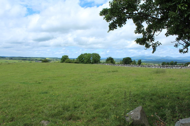
Farmland at Wigtown
 Map © Crown Copyright")
TIP: Click the map for more Large scale mapping
- Grid Square
- NX4355, 767 images (more nearby 🔍)
- Photographer
- Billy McCrorie (more nearby)
- Date Taken
- Monday, 20 June, 2016 (more nearby)
- Submitted
- Monday, 20 June, 2016
- Subject Location
-
OSGB36:
 NX 4301 5545 [10m precision]
WGS84: 54:52.1468N 4:26.8755W - Camera Location
-
OSGB36: NX 4302 5543
- View Direction
- North-northwest (about 337 degrees)