2007
SD4256 : The road from Sunderland Point
taken 17 years ago, near to Glasson, Lancashire, England
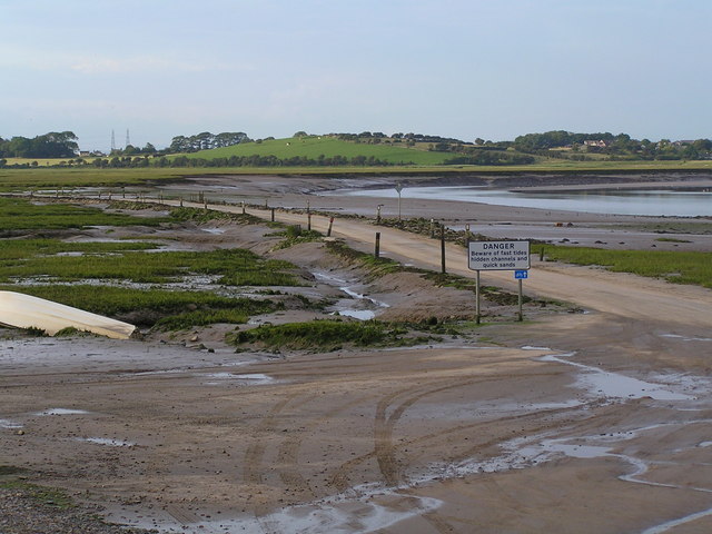
The road from Sunderland Point.
If you can't see the notice you are in trouble, and the high tide mark on the wall behind the photographer looks to be capable of covering it completely.
 Map © Crown Copyright")
TIP: Click the map for more Large scale mapping
- Grid Square
- SD4256, 90 images (more nearby 🔍)
- Photographer
- Robin Madge (more nearby)
- Date Taken
- Monday, 16 July, 2007 (more nearby)
- Submitted
- Saturday, 21 July, 2007
- Subject Location
-
OSGB36:
 SD 427 564 [100m precision]
WGS84: 54:0.0372N 2:52.5015W - Camera Location
-
OSGB36: SD 426 562
- View Direction
- Northeast (about 45 degrees)