2016
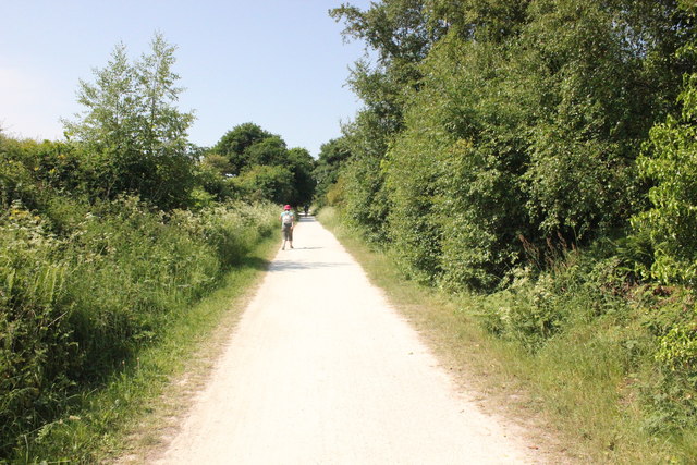
SJ2680 : The Wirral Way at Heswall
taken 8 years ago, near to Gayton, Wirral, England
This is 1 of 2 images, with title starting with The Wirral Way at in this square
 Map © Crown Copyright")
TIP: Click the map for more Large scale mapping
- Grid Square
- SJ2680, 29 images (more nearby 🔍)
- Photographer
- Jeff Buck (more nearby)
- Date Taken
- Monday, 6 June, 2016 (more nearby)
- Submitted
- Thursday, 23 June, 2016
- Subject Location
-
OSGB36:
 SJ 267 805 [100m precision]
WGS84: 53:18.9859N 3:6.0594W - Camera Location
-
OSGB36: SJ 267 804
- View Direction
- North-northwest (about 337 degrees)