2016
NY7130 : The Pennine Way on Knock Fell
taken 8 years ago, near to Knock Ore Gill [water Feature], Cumbria, Great Britain
This is 1 of 2 images, with title The Pennine Way on Knock Fell in this square
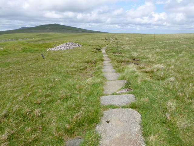
The Pennine Way on Knock Fell
 Map © Crown Copyright")
TIP: Click the map for more Large scale mapping
- Grid Square
- NY7130, 20 images (more nearby 🔍)
- Photographer
- Oliver Dixon (more nearby)
- Date Taken
- Wednesday, 22 June, 2016 (more nearby)
- Submitted
- Friday, 24 June, 2016
- Subject Location
-
OSGB36:
 NY 7191 3088 [10m precision]
WGS84: 54:40.3320N 2:26.2251W - Camera Location
-
OSGB36: NY 71947 30778
- View Direction
- North-northwest (about 337 degrees)