2016
NH6925 : New Track
taken 8 years ago, 4 km SE of Brinmore, Highland, Scotland
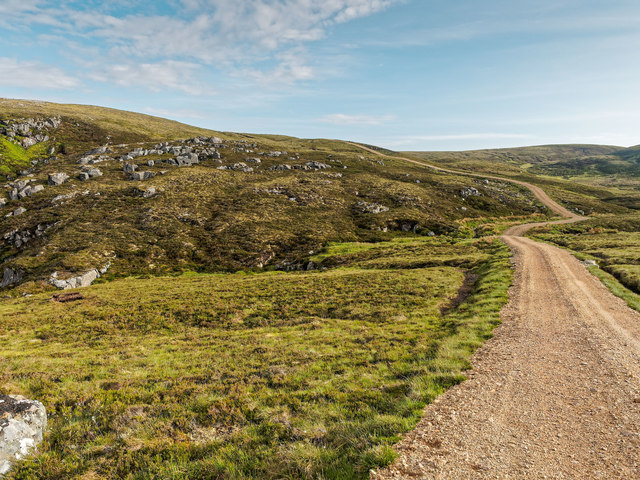
New Track
This track is yet to appear on the OS maps.
 Map © Crown Copyright")
TIP: Click the map for more Large scale mapping
- Grid Square
- NH6925, 3 images (more nearby 🔍)
- Photographer
- valenta (more nearby)
- Date Taken
- Wednesday, 8 June, 2016 (more nearby)
- Submitted
- Friday, 24 June, 2016
- Subject Location
-
OSGB36:
 NH 6978 2593 [10m precision]
WGS84: 57:18.3189N 4:9.7883W - Camera Location
-
OSGB36: NH 6984 2599
- View Direction
- Southwest (about 225 degrees)