2016
SM9310 : National Cycle Network route 4 signpost, Johnston
taken 8 years ago, near to Johnston, Pembrokeshire/Sir Benfro, Wales
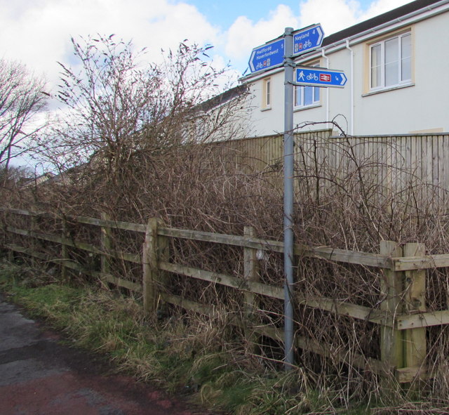
National Cycle Network route 4 signpost, Johnston
Located here Link 5 miles from Haverfordwest, 4 from Neyland and ¼ mile from Johnston railway station.
 Map © Crown Copyright")
TIP: Click the map for more Large scale mapping
- Grid Square
- SM9310, 189 images (more nearby 🔍)
- Photographer
- Jaggery (more nearby)
- Date Taken
- Thursday, 18 February, 2016 (more nearby)
- Submitted
- Sunday, 26 June, 2016
- Subject Location
-
OSGB36:
 SM 9325 1076 [10m precision]
WGS84: 51:45.4359N 4:59.8252W - Camera Location
-
OSGB36: SM 9325 1076
- View Direction
- NORTH (about 0 degrees)