2016
J4477 : Path, Cairn Wood, Craigantlet (June 2016)
taken 8 years ago, 4 km SSW of Crawfordsburn, Co Down, Northern Ireland
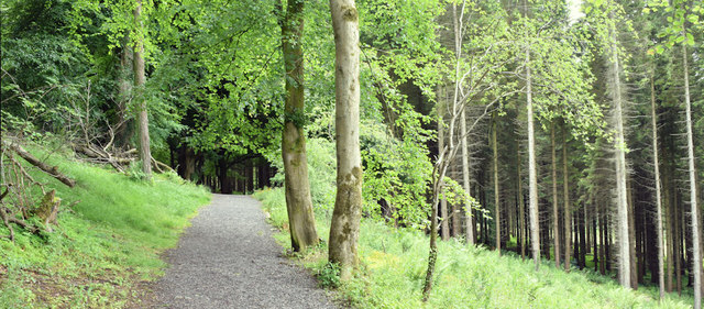
Path, Cairn Wood, Craigantlet (June 2016)
A path through the mixed coniferous and deciduous trees a typical scene in the wood.
Cairn Wood near Craigantlet
Cairn Wood, near Craigantlet cross roads, is mixed woodland close to east Belfast and Dundonald. It is a popular spot for dog walkers and family walks as well as being used by orienteers. It was formerly part of the Clandeboye estate.
Loading map... (JavaScript required)
- Grid Square
- J4477, 65 images (more nearby 🔍)
- Photographer
- Albert Bridge (more nearby)
- Date Taken
- Monday, 27 June, 2016 (more nearby)
- Submitted
- Monday, 27 June, 2016
- Subject Location
-
Irish:
 J 449 772 [100m precision]
WGS84: 54:37.3629N 5:45.4050W - Camera Location
-
Irish: J 449 772
- View Direction
- West-southwest (about 247 degrees)