2016
TL4379 : Bury Lane, Sutton Gault
taken 8 years ago, near to Sutton, Cambridgeshire, England
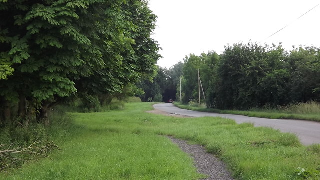
Bury Lane, Sutton Gault
 Map © Crown Copyright")
TIP: Click the map for more Large scale mapping
- Grid Square
- TL4379, 18 images (more nearby 🔍)
- Photographer
- John Welford (more nearby)
- Date Taken
- Saturday, 18 June, 2016 (more nearby)
- Submitted
- Tuesday, 28 June, 2016
- Subject Location
-
OSGB36:
 TL 4326 7906 [10m precision]
WGS84: 52:23.4495N 0:6.2289E - Camera Location
-
OSGB36: TL 4315 7916
- View Direction
- Southeast (about 135 degrees)