2016
SZ0792 : Talbot Woods: footpath A15 reaches East Avenue
taken 8 years ago, near to Branksome, Bournemouth, Christchurch & Poole, England
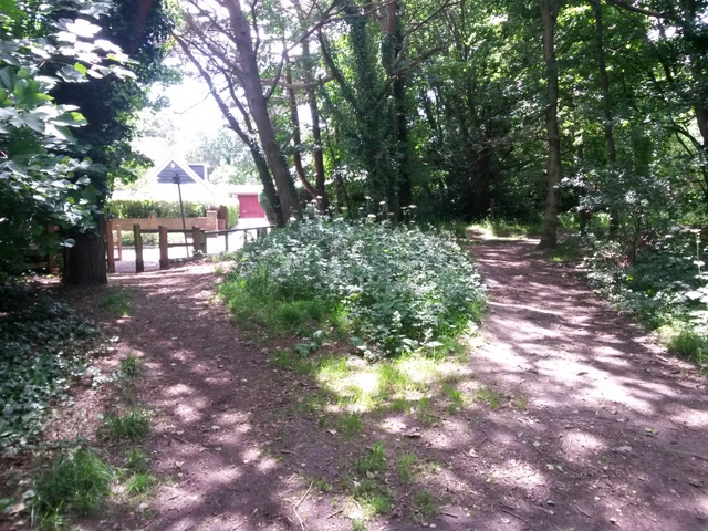
Talbot Woods: footpath A15 reaches East Avenue
This public footpath (left) is numbered by Bournemouth council although it is in the borough of Poole at this precise spot. It is seen here reaching the end of East Avenue, the wooden fence marking the borough boundary.
See SZ0792 : Talbot Woods: footpath A15 to Alyth Road for the view towards us from the road and SZ0792 : Talbot Woods: a stretch of footpath A15 in Poole for the next picture along the path behind us.
See SZ0792 : Talbot Woods: footpath A15 to Alyth Road for the view towards us from the road and SZ0792 : Talbot Woods: a stretch of footpath A15 in Poole for the next picture along the path behind us.
Public rights of way in Bournemouth
A series of pictures documenting the public rights of way in the borough of Bournemouth. The pictures of the rights of way all have links to the next picture on the same route, in each direction.
The rights of way are all documented, in numerical order, in this article:
Link
 Map © Crown Copyright")
TIP: Click the map for more Large scale mapping
- Grid Square
- SZ0792, 95 images (more nearby 🔍)
- Photographer
- Chris Downer (more nearby)
- Date Taken
- Tuesday, 28 June, 2016 (more nearby)
- Submitted
- Tuesday, 28 June, 2016
- Subject Location
-
OSGB36:
 SZ 0709 9261 [10m precision]
WGS84: 50:43.9838N 1:54.0541W - Camera Location
-
OSGB36: SZ 0709 9262
- View Direction
- South-southeast (about 157 degrees)