2016
SU5125 : Tractor tracks through wheatfield, near Old Down Lane
taken 8 years ago, near to Morestead, Hampshire, England
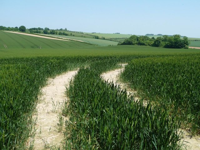
Tractor tracks through wheatfield, near Old Down Lane
Revealing the white chalk soil.
 Map © Crown Copyright")
TIP: Click the map for more Large scale mapping
- Grid Square
- SU5125, 34 images (more nearby 🔍)
- Photographer
- Christine Johnstone (more nearby)
- Date Taken
- Sunday, 5 June, 2016 (more nearby)
- Submitted
- Wednesday, 29 June, 2016
- Subject Location
-
OSGB36:
 SU 5146 2539 [10m precision]
WGS84: 51:1.5350N 1:16.0574W - Camera Location
-
OSGB36: SU 5145 2537
- View Direction
- North-northeast (about 22 degrees)