2016
TL2098 : Peterborough Greyhound Stadium, from the south
taken 8 years ago, near to Stanground, Peterborough, England
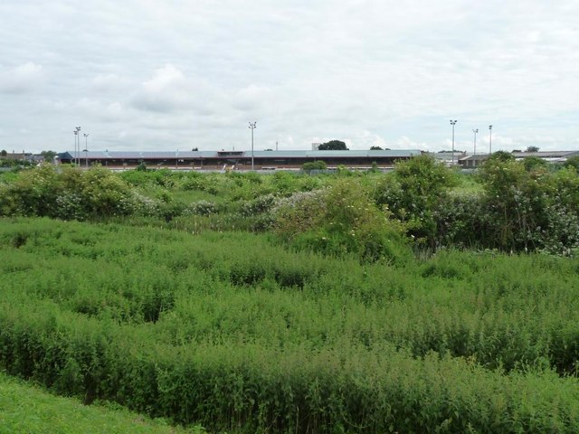
Peterborough Greyhound Stadium, from the south
Alongside the Nene Ings, a river flood plain on the east side of Peterborough.
 Map © Crown Copyright")
TIP: Click the map for more Large scale mapping
- Grid Square
- TL2098, 49 images (more nearby 🔍)
- Photographer
- Christine Johnstone (more nearby)
- Date Taken
- Saturday, 25 June, 2016 (more nearby)
- Submitted
- Wednesday, 29 June, 2016
- Subject Location
-
OSGB36:
 TL 2064 9829 [10m precision]
WGS84: 52:34.1440N 0:13.2868W - Camera Location
-
OSGB36: TL 2059 9807
- View Direction
- North-northeast (about 22 degrees)