2016
NF8448 : Drainage burn, Loch Langabhat
taken 8 years ago, 4 km NNE of Rubha Ghaisinis, South Uist & Benbecula, Na h-Eileanan an Iar, Scotland
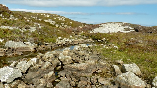
Drainage burn, Loch Langabhat
For such a large body of water, almost two and a half miles long, the exit burn is very small. When this photo was taken, it was no more than eighteen inches wide. The presence of an old sluice suggests that the levels had been managed in the past.
 Map © Crown Copyright")
TIP: Click the map for more Large scale mapping
- Grid Square
- NF8448, 4 images (more nearby 🔍)
- Photographer
- AlastairG (more nearby)
- Date Taken
- Thursday, 2 June, 2016 (more nearby)
- Submitted
- Saturday, 2 July, 2016
- Subject Location
-
OSGB36:
 NF 8444 4839 [10m precision]
WGS84: 57:24.9548N 7:15.4756W - Camera Location
-
OSGB36: NF 8443 4839
- View Direction
- EAST (about 90 degrees)