2016
TL1997 : Cleared land between the River Nene and the railway, Peterborough, looking east
taken 8 years ago, near to Stanground, Peterborough, England
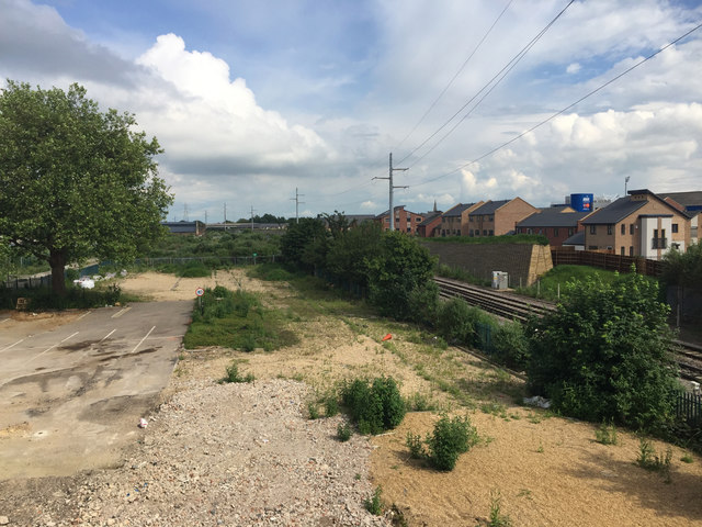
Cleared land between the River Nene and the railway, Peterborough, looking east
Note the elegant pylons, carrying power lines from the substation behind the camera on the other side of the London Road TL1998 : Electricity substation south of the River Nene, Peterborough. They must have a smaller footprint than a conventional pylon would have in new development.
Geograph AGM 2016 :: TL1898
A collection of images for information purposes prior to the AGM 2016, and for members attending to post images during the AGM weekend.
 Map © Crown Copyright")
TIP: Click the map for more Large scale mapping
- Grid Square
- TL1997, 370 images (more nearby 🔍)
- Photographer
- Robin Stott (more nearby)
- Date Taken
- Saturday, 25 June, 2016 (more nearby)
- Submitted
- Sunday, 3 July, 2016
- Subject Location
-
OSGB36:
 TL 1934 9799 [10m precision]
WGS84: 52:33.9994N 0:14.4435W - Camera Location
-
OSGB36: TL 1927 9801
- View Direction
- East-southeast (about 112 degrees)