2016
TQ6647 : Path alongside the River Bourne
taken 8 years ago, near to East Peckham, Kent, England
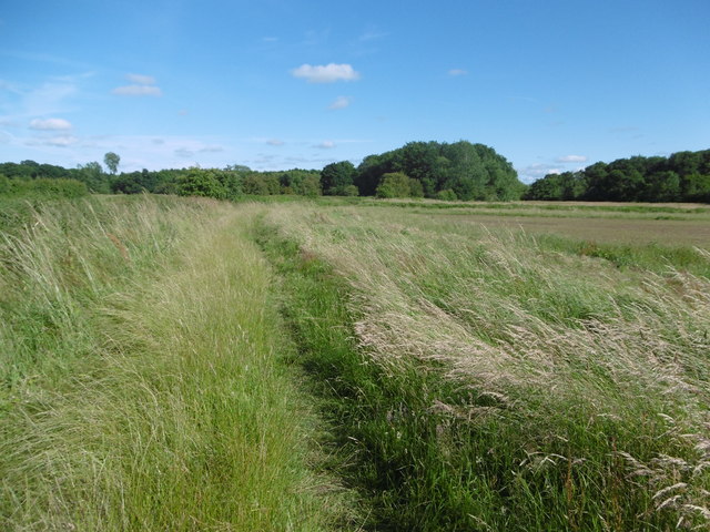
Path alongside the River Bourne
The River Bourne comes down from the Greensand Ridge and flows into the River Medway a little way ahead. It is just on the left here, out of sight. This path leads from Little Mill on the outskirts of East Peckham to the River Medway.
 Map © Crown Copyright")
TIP: Click the map for more Large scale mapping
- Grid Square
- TQ6647, 90 images (more nearby 🔍)
- Photographer
- Marathon (more nearby)
- Date Taken
- Sunday, 3 July, 2016 (more nearby)
- Submitted
- Monday, 4 July, 2016
- Subject Location
-
OSGB36:
 TQ 6627 4790 [10m precision]
WGS84: 51:12.3667N 0:22.7280E - Camera Location
-
OSGB36: TQ 6624 4793
- View Direction
- Southeast (about 135 degrees)