2016
SY2794 : Whitford Road, Musbury
taken 8 years ago, near to Musbury, Devon, England
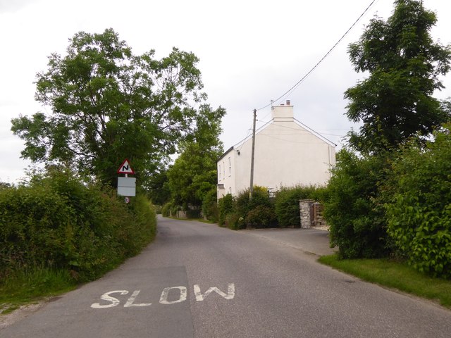
Whitford Road, Musbury
The hedge on the left marks the transition from housing to farmland
 Map © Crown Copyright")
TIP: Click the map for more Large scale mapping
- Grid Square
- SY2794, 83 images (more nearby 🔍)
- Photographer
- David Smith (more nearby)
- Date Taken
- Saturday, 25 June, 2016 (more nearby)
- Submitted
- Monday, 4 July, 2016
- Subject Location
-
OSGB36:
 SY 2705 9488 [10m precision]
WGS84: 50:44.9352N 3:2.1240W - Camera Location
-
OSGB36: SY 2708 9486
- View Direction
- Northwest (about 315 degrees)