2016
TF1107 : Along Maxey Cut
taken 8 years ago, near to Ashton, Peterborough, England
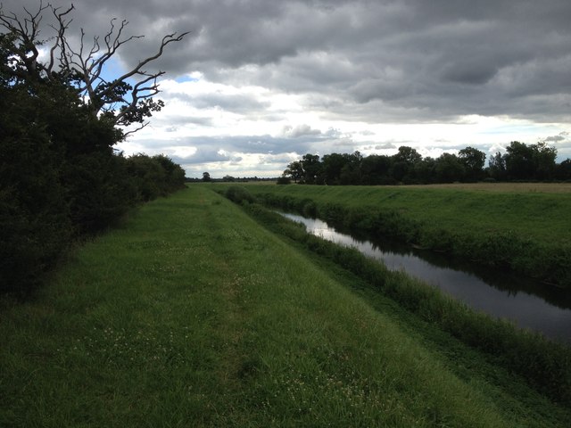
Along Maxey Cut
 Map © Crown Copyright")
TIP: Click the map for more Large scale mapping
- Grid Square
- TF1107, 37 images (more nearby 🔍)
- Photographer
- Dave Thompson (more nearby)
- Date Taken
- Tuesday, 5 July, 2016 (more nearby)
- Submitted
- Tuesday, 5 July, 2016
- Subject Location
-
OSGB36:
 TF 1129 0700 [10m precision]
WGS84: 52:38.9595N 0:21.3845W - Camera Location
-
OSGB36: TF 11289 07003
- View Direction
- EAST (about 90 degrees)