2016
SZ0595 : West Howe: footpath U02 behind Turbary Park Avenue
taken 8 years ago, near to Kinson, Bournemouth, Christchurch & Poole, England
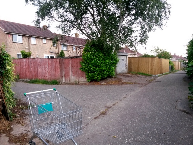
West Howe: footpath U02 behind Turbary Park Avenue
This public footpath comes along the driveway access from Turbary Park Avenue, left, onto the rear driveway itself. The route of the footpath then goes ahead towards an alley to Maclean Road, part of footpath U01.
See SZ0595 : West Howe: footpath U02 from Turbary Park Avenue for the view from Turbary Park Avenue (left), and SZ0595 : West Howe: this driveway is footpath U02 for the next view on the route ahead, with links to further pictures along the path.
See SZ0595 : West Howe: footpath U02 from Turbary Park Avenue for the view from Turbary Park Avenue (left), and SZ0595 : West Howe: this driveway is footpath U02 for the next view on the route ahead, with links to further pictures along the path.
Public rights of way in Bournemouth
A series of pictures documenting the public rights of way in the borough of Bournemouth. The pictures of the rights of way all have links to the next picture on the same route, in each direction.
The rights of way are all documented, in numerical order, in this article:
Link
 Map © Crown Copyright")
TIP: Click the map for more Large scale mapping
- Grid Square
- SZ0595, 113 images (more nearby 🔍)
- Photographer
- Chris Downer (more nearby)
- Date Taken
- Tuesday, 12 July, 2016 (more nearby)
- Submitted
- Friday, 15 July, 2016
- Subject Location
-
OSGB36:
 SZ 0587 9505 [10m precision]
WGS84: 50:45.3011N 1:55.0891W - Camera Location
-
OSGB36: SZ 0588 9505
- View Direction
- West-northwest (about 292 degrees)