2016
SD9098 : Pennine Way approaching Kisdon
taken 8 years ago, near to Thwaite, North Yorkshire, England
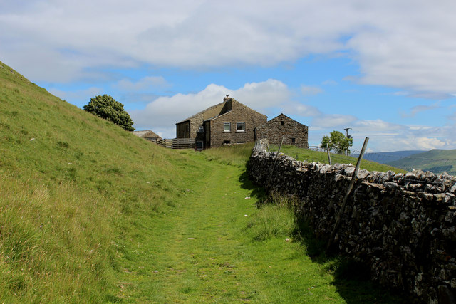
Pennine Way approaching Kisdon
The section between Thwaite and Keld, takes the Pennine Way through Swaledale - most of it on the flanks of Kisdon Hill. This is one of the highlights of entire route.
The Pennine Way
The Pennine Way is a National Trail in England, with a small section in Scotland. The trail runs 267 miles from Edale, in the northern Derbyshire Peak District, north through the Yorkshire Dales and the Northumberland National Park and ends at Kirk Yetholm, just inside the Scottish border. The path runs along the Pennine hills, sometimes described as the "backbone of England". Although not the United Kingdom's longest National Trail, it is according to the Ramblers' Association "one of Britain's best known and toughest".
 Map © Crown Copyright")
TIP: Click the map for more Large scale mapping
- Grid Square
- SD9098, 101 images (more nearby 🔍)
- Photographer
- Chris Heaton (more nearby)
- Date Taken
- Monday, 18 July, 2016 (more nearby)
- Submitted
- Wednesday, 20 July, 2016
- Subject Location
-
OSGB36:
 SD 9022 9853 [10m precision]
WGS84: 54:22.9301N 2:9.1251W - Camera Location
-
OSGB36: SD 9018 9853
- View Direction
- EAST (about 90 degrees)