2016
TL9879 : C636 Nethergate Street, Hopton
taken 8 years ago, near to Hopton, Suffolk, England
This is 1 of 5 images, with title C636 Nethergate Street, Hopton in this square
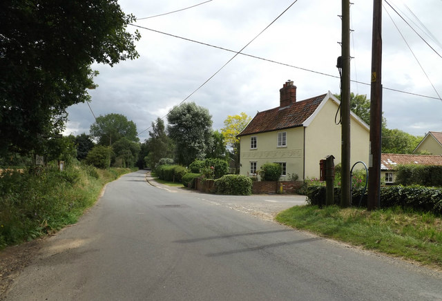
C636 Nethergate Street, Hopton
At the junction with Fen Street & entrance to Dairy Farm
 Map © Crown Copyright")
TIP: Click the map for more Large scale mapping
- Grid Square
- TL9879, 49 images (more nearby 🔍)
- Photographer
- Geographer (more nearby)
- Date Taken
- Tuesday, 12 July, 2016 (more nearby)
- Submitted
- Friday, 22 July, 2016
- Subject Location
-
OSGB36:
 TL 98638 79343 [1m precision]
WGS84: 52:22.5658N 0:55.0075E - Camera Location
-
OSGB36: TL 98618 79351
- View Direction
- East-southeast (about 112 degrees)