2016
TM0080 : Little Ouse River
taken 8 years ago, near to Blo' Norton, Norfolk, England
This is 1 of 4 images, with title Little Ouse River in this square
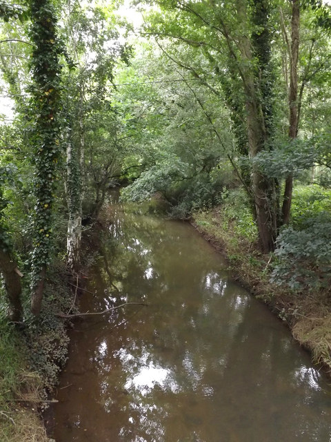
Little Ouse River
This forms the border between Norfolk & Suffolk
Off the B1111 Common Road
Off the B1111 Common Road
 Map © Crown Copyright")
TIP: Click the map for more Large scale mapping
- Grid Square
- TM0080, 97 images (more nearby 🔍)
- Photographer
- Geographer (more nearby)
- Date Taken
- Tuesday, 12 July, 2016 (more nearby)
- Submitted
- Sunday, 24 July, 2016
- Subject Location
-
OSGB36:
 TM 00255 80048 [1m precision]
WGS84: 52:22.9103N 0:56.4561E - Camera Location
-
OSGB36: TM 00255 80048
- View Direction
- Northwest (about 315 degrees)