2016
SK5305 : The Mill Lane, Glenfield
taken 8 years ago, near to Glenfield, Leicestershire, England
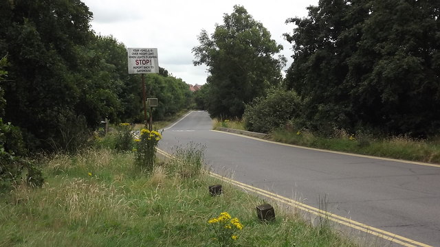
The Mill Lane, Glenfield
Taken from the Ivanhoe Trail, this is where the entrance road to the Widdowson and other depots crosses Rothley Brook.
 Map © Crown Copyright")
TIP: Click the map for more Large scale mapping
- Grid Square
- SK5305, 23 images (more nearby 🔍)
- Photographer
- John Welford (more nearby)
- Date Taken
- Tuesday, 26 July, 2016 (more nearby)
- Submitted
- Wednesday, 27 July, 2016
- Subject Location
-
OSGB36:
 SK 5319 0582 [10m precision]
WGS84: 52:38.8510N 1:12.9159W - Camera Location
-
OSGB36: SK 5316 0592
- View Direction
- South-southeast (about 157 degrees)