2015
SP3065 : The west side of Myton Crofts, Warwick
taken 8 years ago, near to Royal Leamington Spa, Warwickshire, England
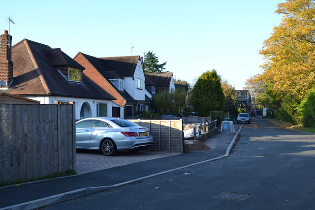
The west side of Myton Crofts, Warwick
Myton Crofts is a residential cul-de-sac off the north side of Myton Road. It loops round a triangle of land bounded by trees, right. Whether the triangle is a private garden or a communal open space for residents is not known. It first appears on an OS County Series map of 1938; the map before that was 1926.
 Map © Crown Copyright")
TIP: Click the map for more Large scale mapping
- Grid Square
- SP3065, 648 images (more nearby 🔍)
- Photographer
- Robin Stott (more nearby)
- Date Taken
- Saturday, 31 October, 2015 (more nearby)
- Submitted
- Wednesday, 27 July, 2016
- Subject Location
-
OSGB36:
 SP 3068 6518 [10m precision]
WGS84: 52:17.0346N 1:33.1009W - Camera Location
-
OSGB36: SP 3071 6511
- View Direction
- North-northwest (about 337 degrees)