2016
SO8408 : The Cotswold Way below Maitlands Wood
taken 8 years ago, near to Edge, Gloucestershire, England
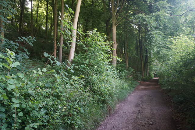
The Cotswold Way below Maitlands Wood
At some point, the wood turns into Stockend Wood, but the boundary is not clear on the western side. The path is shared with a bridleway and farm access.
 Map © Crown Copyright")
TIP: Click the map for more Large scale mapping
- Grid Square
- SO8408, 33 images (more nearby 🔍)
- Photographer
- Bill Boaden (more nearby)
- Date Taken
- Sunday, 17 July, 2016 (more nearby)
- Submitted
- Thursday, 28 July, 2016
- Subject Location
-
OSGB36:
 SO 8418 0889 [10m precision]
WGS84: 51:46.7070N 2:13.8425W - Camera Location
-
OSGB36: SO 8419 0890
- View Direction
- Southwest (about 225 degrees)