2016
NT8745 : Boundary wall, Ladykirk estate
taken 8 years ago, near to Upsettlington, Scottish Borders, Scotland
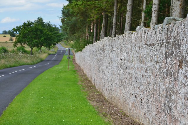
Boundary wall, Ladykirk estate
The estate wall by the B6437. The boundary turns right at the next junction with the wall extending over a kilometre to Upsettlington - potentially good long-term business for the stonemasons.
 Map © Crown Copyright")
TIP: Click the map for more Large scale mapping
- Grid Square
- NT8745, 17 images (more nearby 🔍)
- Photographer
- Jim Barton (more nearby)
- Date Taken
- Friday, 29 July, 2016 (more nearby)
- Submitted
- Monday, 1 August, 2016
- Subject Location
-
OSGB36:
 NT 8719 4584 [10m precision]
WGS84: 55:42.3500N 2:12.3245W - Camera Location
-
OSGB36: NT 8727 4569
- View Direction
- North-northwest (about 337 degrees)