2007
NF8072 : Loch Eisiadair
taken 17 years ago, near to Malacleit, North Uist & Berneray, Na h-Eileanan an Iar, Scotland
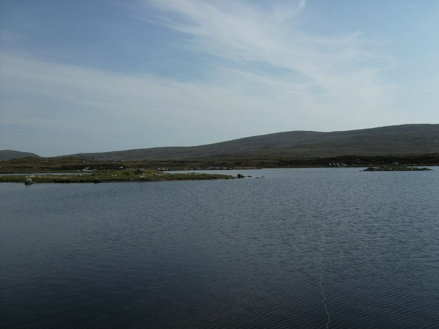
Loch Eisiadair
A view across Loch Eisiadair to the thin promontory with its Pictish Dun to the right of centre.
 Map © Crown Copyright")
TIP: Click the map for more Large scale mapping
- Grid Square
- NF8072, 3 images (more nearby 🔍)
- Photographer
- G Kilpatrick (more nearby)
- Date Taken
- Tuesday, 17 July, 2007 (more nearby)
- Submitted
- Monday, 1 August, 2016
- Subject Location
-
OSGB36:
 NF 8075 7265 [10m precision]
WGS84: 57:37.8186N 7:21.0517W - Camera Location
-
OSGB36: NF 8076 7278
- View Direction
- SOUTH (about 180 degrees)