2016
SK0888 : Kinder Downfall
taken 8 years ago, 5 km ENE of Little Hayfield, Derbyshire, England
This is 1 of 22 images, with title Kinder Downfall in this square
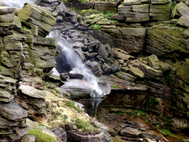
Kinder Downfall
 Map © Crown Copyright")
TIP: Click the map for more Large scale mapping
- Grid Square
- SK0888, 107 images (more nearby 🔍)
- Photographer
- Stephen Burton (more nearby)
- Date Taken
- Wednesday, 3 August, 2016 (more nearby)
- Submitted
- Friday, 5 August, 2016
- Subject Location
-
OSGB36:
 SK 0826 8892 [10m precision]
WGS84: 53:23.8228N 1:52.6347W - Camera Location
-
OSGB36: SK 0823 8892
- View Direction
- EAST (about 90 degrees)