2016
SU9131 : Chase Lane
taken 8 years ago, near to Kingsley Green, West Sussex, England
This is 1 of 2 images, with title Chase Lane in this square
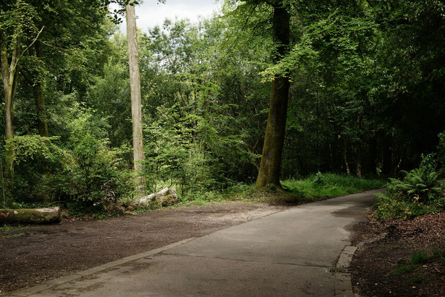
Chase Lane
The end of the tarmac. The lane, from the outskirts of Haslemere, continues up to the Sussex Border Path on Black Down. This point is the County Boundary between Surrey and Sussex. The view is into Surrey.
 Map © Crown Copyright")
TIP: Click the map for more Large scale mapping
- Grid Square
- SU9131, 20 images (more nearby 🔍)
- Photographer
- Peter Trimming (more nearby)
- Date Taken
- Thursday, 4 August, 2016 (more nearby)
- Submitted
- Friday, 5 August, 2016
- Subject Location
-
OSGB36:
 SU 9143 3111 [10m precision]
WGS84: 51:4.3228N 0:41.7830W - Camera Location
-
OSGB36: SU 9143 3110
- View Direction
- North-northwest (about 337 degrees)