2016
NX5576 : Galloway Forest Park, Path near Clatteringshaws Loch
taken 8 years ago, 3 km from Mid Garrary, Dumfries And Galloway, Scotland
This is 1 of 2 images, with title starting with Galloway Forest Park, Path near Clatteringshaws in this square
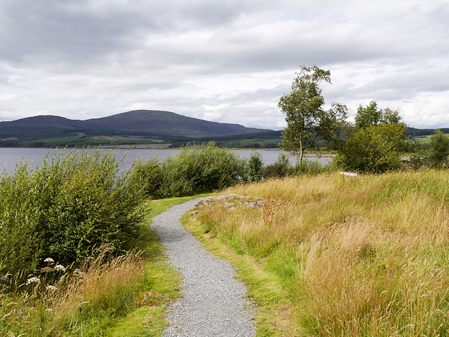
Galloway Forest Park, Path near Clatteringshaws Loch
Clatteringshaws Loch lies at the eastern fringes of the Galloway Forest Park. It was created in the 1930s as part of the Galloway Hydro-electric scheme.
 Map © Crown Copyright")
TIP: Click the map for more Large scale mapping
- Grid Square
- NX5576, 421 images (more nearby 🔍)
- Photographer
- David Dixon (more nearby)
- Date Taken
- Friday, 5 August, 2016 (more nearby)
- Submitted
- Wednesday, 10 August, 2016
- Subject Location
-
OSGB36:
 NX 550 763 [100m precision]
WGS84: 55:3.6300N 4:16.2722W - Camera Location
-
OSGB36: NX 550 763
- View Direction
- WEST (about 270 degrees)