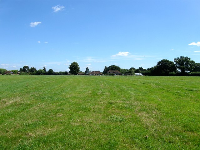
TQ1817 : Long Field
taken 8 years ago, near to Ashurst, West Sussex, England

The parish of Ashurst lies in the Low Weald on the western side of the River Adur though only the north eastern part uses the river as a boundary. It is bounded by Henfield to the east, Steyning to the south, Wiston to the west and West Grinstead to the north. Originally the latter included a salient that split the northern part of the parish into two prongs, with the eastern side extending north to the Lock Estate. There were also two detached parts of the parish, one small area based around Upper Posbrook's Farm and another around Heath Barn on the banks of the River Adur. These were transferred to West Grinstead and Steyning in 1891 and 1933 respectively.
The village itself is small and lies on the eastern side of the parish and was originally based around a crossroads on what is now Church Lane which was once part of an ancient droveway running south-north. At some point the settlement drifted eastwards to another old droveway that is now the B2135. There are two other smaller settlements within the parish, Horsebridge Common to the south and Bines Green to the north east. Both lie on the same road and were based around farms built on the edge of a couple of small commons. The rest of the population is scattered around smallholdings and farms in the more wooded western half of the parish.
The parish was built around a number of old droveways which ran north-south connecting the estates near the foot of the Downs with old wooded pastures in the Weald. One of them, the B2135, forms the main road through the parish and links Steyning to Horsham. Another old droveway branched off that road near Wappingthorn Wood and ran towards West Grinstead and originally provided the main street of the old settlement. However, the section north of Church lane to the Lock Estate is now a bridleway whilst that to the south from Sweethill Farm to Spithandle Lane no longer exists, possibly stopped up when the parallel B2135 was turnpiked around 1811 as it is marked on both Yeakell & Gardner's 1873 map and the first OS map though not on the 1844 tithe map. There are just four other roads open to vehicular traffic in the current parish; Golden Lane links the B2135 to Church Lane; School Lane runs parallel to the south; Pepper's Lane heads west from Church Lane eventually joining the A24 at Dial Post; Spithandle Lane also heads west from the B2135 at Horsebridge Common and meanders its way to Wiston. A number of old bridleways also still traverse the parish.
