2016
NX0154 : Westbound A77
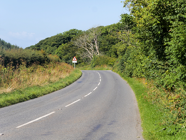
taken 8 years ago, near to Portpatrick, Dumfries And Galloway, Scotland
Westbound A77
The A77 is a major road which runs for 92 miles in a south westerly direction from the city of Glasgow, past the towns of Giffnock, Newton Mearns, Kilmarnock, Prestwick, Ayr, Maybole, Girvan and Stranraer to Portpatrick on the Irish Sea. It has full trunk road status from the terminus of the M77 motorway at Fenwick to the junction with the A75 in Stranraer.
The A77 is an important link from Glasgow to Prestwick Airport and the three main Northern Ireland ferry terminals at Stranraer, Cairnryan, and Troon. As a result, the road is subject to a busy mixture of commuter, tourist and heavy goods vehicle traffic which has necessitated upgrades to many sections.
See other images of The A77 Road
 Map © Crown Copyright")
TIP: Click the map for more Large scale mapping
- Grid Square
- NX0154, 29 images (more nearby 🔍)
- Photographer
- David Dixon (more nearby)
- Date Taken
- Monday, 8 August, 2016 (more nearby)
- Submitted
- Sunday, 14 August, 2016
- Subject Location
-
OSGB36:
 NX 012 549 [100m precision]
WGS84: 54:50.9708N 5:5.8325W - Camera Location
-
OSGB36: NX 013 549
- View Direction
- WEST (about 270 degrees)