2016
SC2470 : Wiggly hedge field boundary, west of Ballabeg
taken 8 years ago, near to Ballabeg, Isle of Man
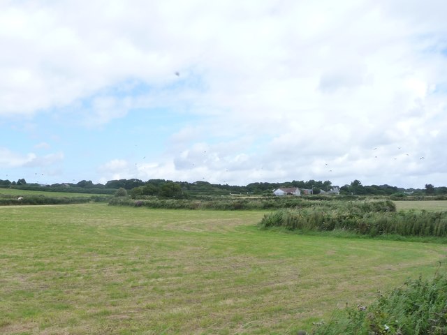
Wiggly hedge field boundary, west of Ballabeg
Probably the route of an unmapped small stream.
 Map © Crown Copyright")
TIP: Click the map for more Large scale mapping
- Grid Square
- SC2470, 23 images (more nearby 🔍)
- Photographer
- Christine Johnstone (more nearby)
- Date Taken
- Tuesday, 9 August, 2016 (more nearby)
- Submitted
- Thursday, 18 August, 2016
- Subject Location
-
OSGB36:
 SC 2425 7008 [10m precision]
WGS84: 54:5.7912N 4:41.3472W - Camera Location
-
OSGB36: SC 2423 7005
- View Direction
- North-northeast (about 22 degrees)