2016
NT0925 : Track leading to Upper Oliver Dod
taken 8 years ago, near to Oliver, Scottish Borders, Scotland
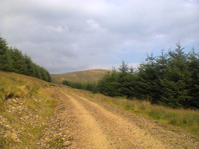
Track leading to Upper Oliver Dod
Neighbouring hill Nether Oliver Dod can be seen in the distance.
 Map © Crown Copyright")
TIP: Click the map for more Large scale mapping
- Grid Square
- NT0925, 7 images (more nearby 🔍)
- Photographer
- Iain Russell (more nearby)
- Date Taken
- Thursday, 18 August, 2016 (more nearby)
- Submitted
- Thursday, 18 August, 2016
- Subject Location
-
OSGB36:
 NT 09261 25321 [1m precision]
WGS84: 55:30.7913N 3:26.3076W - Camera Location
-
OSGB36: NT 0923 2524
- View Direction
- North-northeast (about 22 degrees)