2016
SJ9865 : Looking along the ridge
taken 8 years ago, near to Burntcliff Top, Cheshire East, England
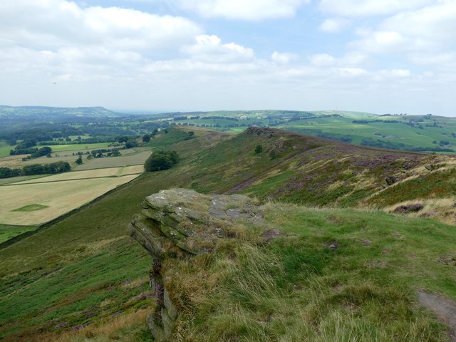
Looking along the ridge
From Roach End to the Hanging Stone
 Map © Crown Copyright")
TIP: Click the map for more Large scale mapping
- Grid Square
- SJ9865, 97 images (more nearby 🔍)
- Photographer
- Graham Hogg (more nearby)
- Date Taken
- Monday, 15 August, 2016 (more nearby)
- Submitted
- Friday, 19 August, 2016
- Subject Location
-
OSGB36:
 SJ 9821 6553 [10m precision]
WGS84: 53:11.2116N 2:1.6946W - Camera Location
-
OSGB36: SJ 9850 6546
- View Direction
- West-northwest (about 292 degrees)