2016
SX9777 : Path near Ladies Mile, Dawlish
taken 10 years ago, near to Dawlish Warren, Devon, England
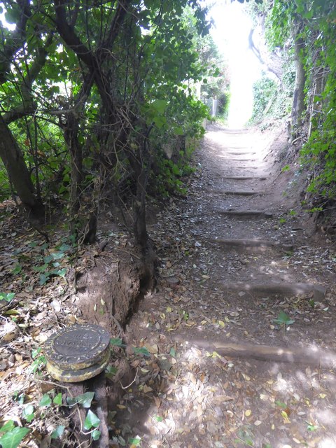
Path near Ladies Mile, Dawlish
Part of the South West Coast Path (high tide route); in the foreground is a marker reading: Great Western Railway Company Boundary 1918 SX9777 : Railway property boundary marker, Dawlish

South West Coast Path (provided by N Chadwick)
The South West Coast Path National Trail - 630 miles of superb coastal walking. From Minehead on the edge of the Exmoor National Park to the shores of Poole Harbour in Dorset. It is the longest of all Britain's National Trails.
Website: Link
Great Western Railway (GWR) (provided by N Chadwick)
The old railway company that built the lines to connect London to Wales and the South West. Isambard Kingdom Brunel (see TQ3080 : Statue of IK Brunel) designed and built much of the route between London and Penzance. Link
Between Exeter and Plymouth is the Riviera Line Link


TIP: Click the map for more Large scale mapping
- Grid Square
- SX9777, 323 images (more nearby 🔍)
- Photographer
- David Smith (more nearby)
- Date Taken
- Sunday, 21 August, 2016 (more nearby)
- Submitted
- Sunday, 21 August, 2016
- Subject Location
-
OSGB36:
 SX 9710 7744
[10m precision]
WGS84: 50:35.2557N 3:27.2968W - Camera Location
-
OSGB36:
SX 9708 7742
- View Direction
- Northeast (about 45 degrees)


