2016
SE3948 : Field path in Wetherby
taken 8 years ago, near to Wetherby, Leeds, England
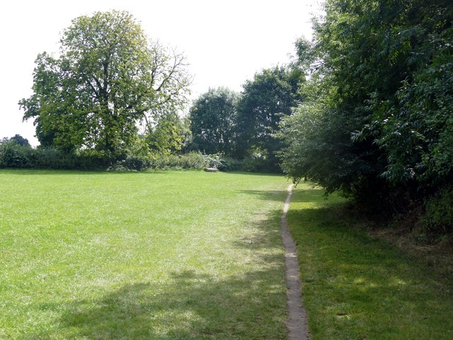
Field path in Wetherby
On the line of a former railway linking lines to Leeds and Harrogate
 Map © Crown Copyright")
TIP: Click the map for more Large scale mapping
- Grid Square
- SE3948, 138 images (more nearby 🔍)
- Photographer
- Graham Hogg (more nearby)
- Date Taken
- Tuesday, 16 August, 2016 (more nearby)
- Submitted
- Monday, 22 August, 2016
- Subject Location
-
OSGB36:
 SE 399 489 [100m precision]
WGS84: 53:56.0866N 1:23.5885W - Camera Location
-
OSGB36: SE 399 489
- View Direction
- Southeast (about 135 degrees)