2016
TF0427 : Above Hawthorpe - East
taken 8 years ago, near to Hawthorpe, Lincolnshire, England
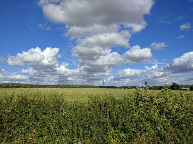
Above Hawthorpe - East
One of a series taken for the "Lincolnshire Skies" twitter account
The microvave tower at Temple Wood can be made out on the skyline (see TF0527 : Sunlight on the dishes)
The microvave tower at Temple Wood can be made out on the skyline (see TF0527 : Sunlight on the dishes)
 Map © Crown Copyright")
TIP: Click the map for more Large scale mapping
- Grid Square
- TF0427, 23 images (more nearby 🔍)
- Photographer
- Bob Harvey (more nearby)
- Date Taken
- Sunday, 21 August, 2016 (more nearby)
- Submitted
- Monday, 22 August, 2016
- Subject Location
-
OSGB36:
 TF 0464 2781 [10m precision]
WGS84: 52:50.2591N 0:26.8821W - Camera Location
-
OSGB36: TF 04390 27774
- View Direction
- EAST (about 90 degrees)