2016
SY6768 : Pulpit Rock during storms
taken 8 years ago, near to Southwell, Dorset, England
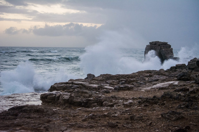
Pulpit Rock during storms
Taken from the obelisk at Portland Bill. Pulpit Rock is the large stack to the right.
 Map © Crown Copyright")
TIP: Click the map for more Large scale mapping
- Grid Square
- SY6768, 516 images (more nearby 🔍)
- Photographer
- Oliver Mills (more nearby)
- Date Taken
- Friday, 19 August, 2016 (more nearby)
- Submitted
- Monday, 29 August, 2016
- Subject Location
-
OSGB36:
 SY 6752 6837 [10m precision]
WGS84: 50:30.8527N 2:27.5674W - Camera Location
-
OSGB36: SY 6771 6827
- View Direction
- West-northwest (about 292 degrees)