2014
TQ4665 : Park Avenue
taken 10 years ago, near to Orpington, Bromley, England
This is 1 of 9 images, with title Park Avenue in this square
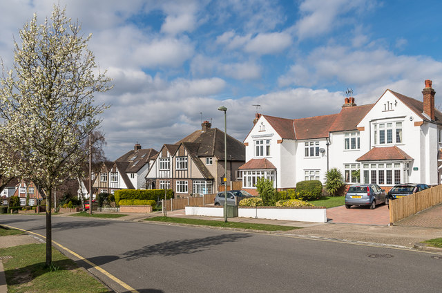
Park Avenue
Old maps and photos show the present Park Avenue as the access route to Goddington, the other side of the present route of Court Road, the A224 Orpington bypass. It also extended the other side of Sevenoaks Road towards Orpington Station, along the route of a road still known as "The Avenue" (see TQ4565 : The Avenue). The maps date this route as being from the late 19th century, although development for housing took place much later - this section dates from the 1930s.
 Map © Crown Copyright")
TIP: Click the map for more Large scale mapping
- Grid Square
- TQ4665, 193 images (more nearby 🔍)
- Photographer
- Ian Capper (more nearby)
- Date Taken
- Monday, 17 March, 2014 (more nearby)
- Submitted
- Monday, 29 August, 2016
- Subject Location
-
OSGB36:
 TQ 462 655 [100m precision]
WGS84: 51:22.2355N 0:5.9372E - Camera Location
-
OSGB36: TQ 462 655
- View Direction
- North-northwest (about 337 degrees)