2016
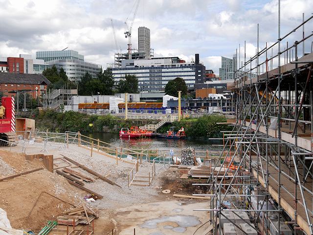
SJ8298 : Ordsall Chord Construction Site, September 2016
taken 8 years ago, near to Rusholme, Manchester, England
This is 1 of 17 images, with title starting with Ordsall in this square

Ordsall Chord Construction Site, September 2016
The Ordsall Chord (also known as the Ordsall Lane Chord, Ordsall Curve or Castlefield Curve) is a short stretch of railway line currently (2016/17) under construction in the Ordsall area of Salford. It will link the mainline railway stations at Manchester Piccadilly and Manchester Victoria.
First proposed in the 1970s (as the "Castlefield Curve"), parliamentary powers for construction of the link were received in 1979 but the project was cancelled. The proposal was revived in 2010 as part of Network Railís Manchester Northern Hub proposal. It is scheduled to be completed by December 2017, and will cost around £85 million to construct.
See other images of The Ordsall Chord
