2016
TM1090 : B1113 The Turnpike, Hargate
taken 8 years ago, near to Hargate, Norfolk, England
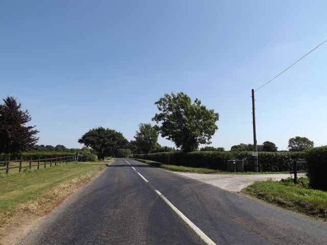
B1113 The Turnpike, Hargate
At the entrance to Shrubbery Farm
Hargate, Norfolk :: TM1191
Hargate is a hamlet in South Norfolk near Carleton Road and New Buckenham
 Map © Crown Copyright")
TIP: Click the map for more Large scale mapping
- Grid Square
- TM1090, 20 images (more nearby 🔍)
- Photographer
- Geographer (more nearby)
- Date Taken
- Tuesday, 30 August, 2016 (more nearby)
- Submitted
- Tuesday, 6 September, 2016
- Subject Location
-
OSGB36:
 TM 10660 90950 [1m precision]
WGS84: 52:28.5483N 1:6.0267E - Camera Location
-
OSGB36: TM 10644 90948
- View Direction
- EAST (about 90 degrees)